|
| Distance for this leg? About 3,600 miles |

We've completed this trek. Total of 6,239 miles and 164 days. The return from AZ to the northland via Florida, etc. was 4,045 miles over 18 days. We made multiple stops. Most recent update is Day 17, National Museum of the U.S. Air Force. We returned to our Illinois location on the 18th day of this blog post. I've included a few links to photo albums which expand on the photos included in this post.
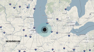 |
| Location , according to Verizon Hum |
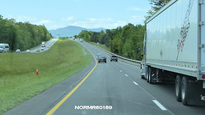
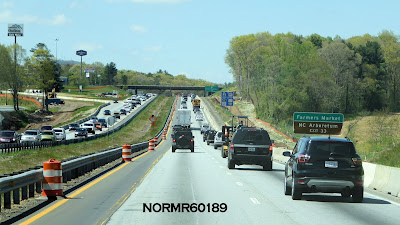
Current location: We've trekked beyond Illinois "Land of Madigan" or as we know it "Madiganstan", today (May 5) on to Michigan.
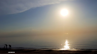 |
| 7:30 pm May 5 |
Tip of the Trip: We made reservations for each stop. That is important in Spring with RVers traversing the country, snowbirders returning home and so on. Some campgrounds close their offices early on weekends (e.g. at 3pm on Sunday) and not all campgrounds allow one to drive in after office hours and pick a spot. So it is important to call ahead, even if only 4-8 hours to assure that spot. Generally we don't wait until the "day of" to plan a nighttime stop. Of course, we can always boondock at a truck stop if necessary. I did map-out the trek from AZ to FL well in advance, picking overnight stops with G and duration of those stops. I use a 2013 version of Microsoft "Streets and Trips" on my PC.
 |
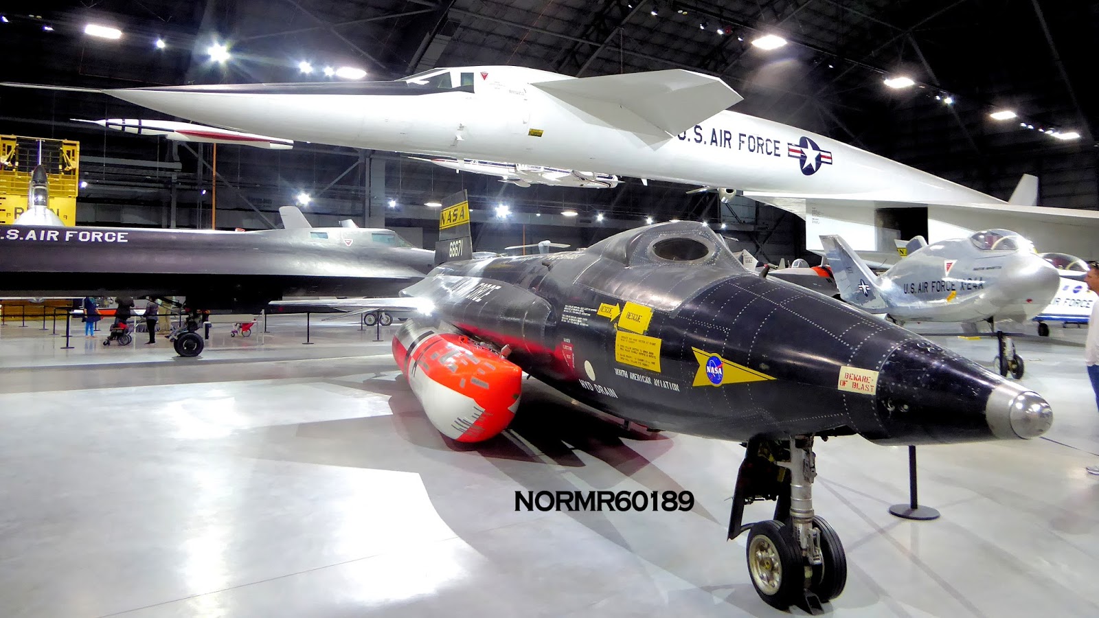
| SR-71 "Blackbird", X-15 and B-70 at the National Museum of the U.S. Air Force, Dayton OH |
Click here to go to Day 2 in this post - Schulenburg, TX.
Click here to go to Day 3 in this post - Schulenburg, La Grange, etc.
Click here to go to Day 4 in this post - Onward to Bay St, Louis, MS.
Click here to go to Day 5 in this post - Arrived on the Gulf of Mexico.
Click here to go to Day 6 in this post - Relaxing on the Gulf of Mexico.
Click here to go to Day 7 in this post - On the "Forgotten Coast".
Click here to go to Day 8 in this post - St. George Island State Park.
Click here to go to the afternoon of Day 8 in this post - Apalachicola National Estuarine Research Reserve and the Pesky Pelican Grill.
Click here to go to Day 9 in this post - Apalachicola vintage car and boat show.
Click here to go to Day 10&11 Bradenton, FL.
Click here to go to Day 12, Sebring, FL.
Click here to go to Day 13, Headed to Savanna, GA.
Click here to go to Day 14, Savanna, GA.
Click here to go to Day 15, Savanna To Asheville, NC.
Click here to go to Day 16, 70 miles of the Blue Ridge Parkway.
Click here to go to Day 17, National Museum of the U.S. Air Force, Dayton OH.
Day 1 (April 13), on to Fort Stockton
We are en-route. Left Arizona and headed east on I-10 to our first stop was Fort Stockton, Texas. Eight hours of driving at an average speed of 70 MPH. Total mileage for the day 562. Left the resort gate in AZ at about 10:00am and arrived at our overnight destination in TX at about 5:45pm, AZ time. However, there is a two hour time difference so our arrival was at 7:46pm local time. The speed limit on I-10 is 80 MPH and so I travelled with traffic.
We were supposed to be fully prepared the night before, but we had packing, final goodbyes including a dinner the day before, and I had a board meeting which took about two hours. So we had some final packing to do and were up at 5:30am. After goodbyes and closing down our AZ location we were finally on the road at about 10:00am.
Day 1 - A Massive Dust Storm
We departed but soon caught up with the high winds we'd had in AZ a day earlier. It was a dust storm. G was a bit shocked by the size of some of the tumbleweeds blowing across the interstate. Visibility was good, but there was a constant haze. We were travelling west to east. That was good because we weren't driving into the wind. We decided to press on and relax later in this trek.
We arrived at Fort Stockton and after setting up we took a brief walk around the campground. The haze was beginning to settle at sunset. G warmed up some pizza and after that I logged on for email, handled a few, and went to bed about 11:00 pm, local time.
 |
| Sunset as the dust storm abates |
Day 2.
Day 2 (April `4), Schulenburg TX
We had a simple breakfast at the Road Runner Cafe in the campground (eggs, sausage and biscuit with really good coffee). We went back 2 miles to get gas to continue on our trek. I had decided to get to the campground before the office closed the night before so I delayed refuelling until this morning.
We headed east on I-10 toward Schulenburg bypassing San Antonio on 1604 (under construction). We will be attending the Schulenburg Sausage Fest. A once a year activity in the town with music, dancing in the street, beer and a lot of sausage. Great sausage, with sampling stations and sandwiches for purchase, etc.
We arrived at our campsite at about 3:55PM, checked in and then headed several blocks to the Sausagefest. "The only festival in Texas to have a Sausage making contest! Cook off also features homemade wine, sauerkraut, and pickles. Dancing in the street to live music, children's activities, food, arts and crafts, and so much more! We hope you can make it out to this year's event!"
We had a snack of sausage on a wrap with sauerkraut. Very tasty. Two of these and two bottles of water for $10.
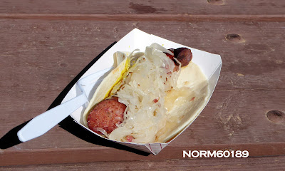 |
| Sausage and sauerkraut on a wrap |
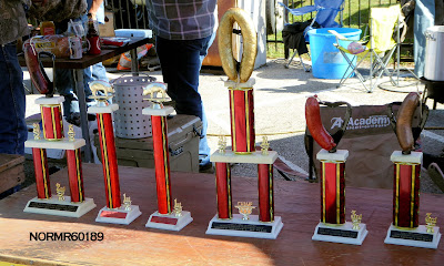 |
| Sausage Awards |
 |
| Sauerkraut awards |
We returned to the campsite for the remainder of the evening
Day 3.
Day 3 (April 15), Painted Churches of Schulenburg, Texas, Piano Bridge, Kolaches, Nuts and Bluebonnets
Schulenburg has some of the best examples of painted churches. These were built by immigrants who, lacking stone and the other things used for building churches in Europe painted the interiors in spectacular ways. Here's a link:
https://www.traveltexas.com/trip-guides/painted-churches-of-texas
Be aware that the churches are open for services on Sunday and are open for daily tours Monday-Saturday. At other times they are closed. So plan your trip!
St. Mary Catholic Church - High Hill, TX
La Grange, TX
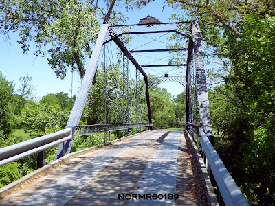
Today we'll be doing some local site seeing. We intend to go north on I-77 to the Piano Bridge Road (615) and then east to the bridge. Then on to La Grange TX.
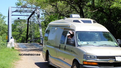 |
| At the Piano Bridge |
 |
| The Piano Bridge |
 |
| Piano Bridge - Dated 1885 |
 |
| On the bridge |
 |
| On the bridge |
Headed to Weikel's Bakery in La Grange, TX for some kolaches:
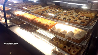 |
| A case of kolaches and other baked goods |
 |
| Cookies and other goodies, too. |
Bluebonnets bloom in April:
 |
| A field in La Grange, TX |
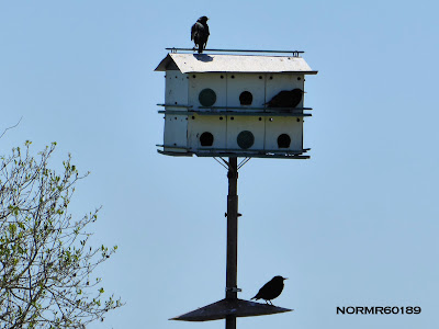 |
| Purple Martins |
Back to Schulenburg to get some pecans:
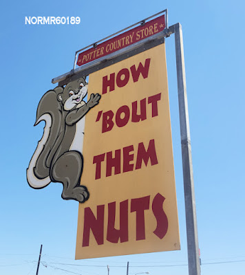 |
| Potter Country Store |
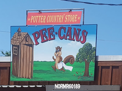 |
| The sign on the washrooms, out back |
Back in Schulenburg, time for dinner and the First of the Day:
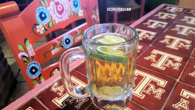 |
| First of the Day at Lucy Tequilas Bar and Grill |
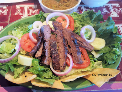 |
| Tex Mex Salad |
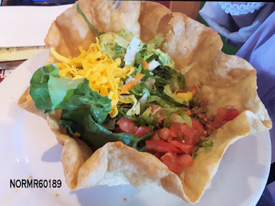 |
| G had a Taco Salad |
Day 4.
Day 4 - Onward to Bay St. Louis, MS
We began at 7:30am and pulled into the campground in Bay St. Louis about 9 hours later. Total miles for the day was 517. We decided to alter our route to allow a more scenic day and to avoid Houston. That required going north to US-290 and east, finally reconnecting with I-10 in Beaumont, TX. Below is a map of the altered route. That added a few miles. Taking local roads and highways was slower than the interstate which was generally posted at 65-70 MPH. But average driving speed was nevertheless about 55 MPH. The planned distance was 509.3 miles and estimated driving time of 8 hours. Minor construction delays and gas/meal stops added an hour to this.
 |
| Altered route to Bay St, Louis, mostly on local roads. |
We arrived a bit late in the day to visit NASA’s John C. Stennis rocket testing center. Last bus tour of the day is 3:00 pm.
https://www.nasa.gov/centers/stennis/home/index.html
I’ll post photos after I’ve had the opportunity to go through them.
Here's the view from G's seat travelling north on US77 at 8:06am:
Travelling through Tomball, TX:
Crossing Lake Houston, 10:45am:
How often do you pass a grade school with ponies grazing on the front lawn?
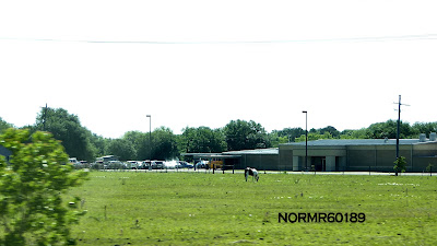 |
| School with ponies grazing |
Exxon polypropylene plant under construction near Beaumont. Polypropylene is a plastic used in high-performance automotive, appliance and packaging applications:
 |
| Entering Louisiana |
 |
| Crossing Lake Bigeux, LA |
Still ahead, the Mississippi River! (Photos coming).
At about 4:45pm, we were parked in our campsite for the night:
Tomorrow we have 350 miles to go to reach our Florida Destination.
Meanwhile, this is the Weather Channel prediction for Wednesday. I think it will be a while before we return to the Northland:
 |
| Weather Channel Prediction - Midwest, April 18, 2018 |
Day 5.
Day 5 - Arrive on the Gulf Coast of Florida
We'll be spending a few days on the Gulf Coast. Our campsite is at the water. Today we drove about 398 miles. We departed at 7:30am, stopped for breakfast and for lunch along the way. Lunch was about an hour because service was slow. Our average speed while the engine was running was about 64 MPH according to the Chevy's computer. I-10 was 70 MPH and local highways 35-55 MPH. We travelled with traffic, generally in the middle lane.
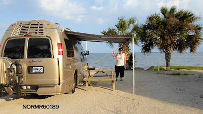
The next photo shows our Roadtrek at the campsite, 1,949 miles and a few stops after we began this trek.
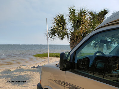 |
| Camping on the Gulf of Mexico - end of today's trek |
 |
| USS Alabama at Mobile's Battleship Park |
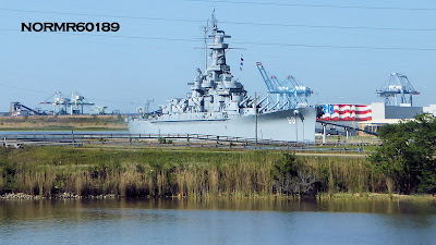 |
| USS Alabama |
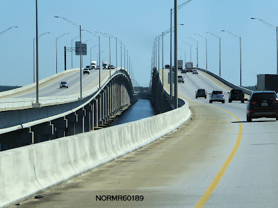 |
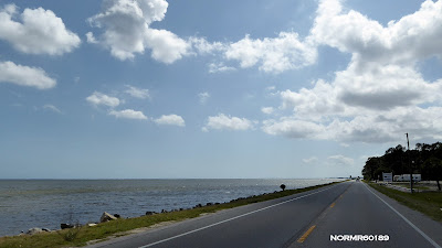
| On I-10 |
Tate's Hell State Forest
During a past trek we drove through nearby Tate's Hell State Forest. It is an interesting drive along a winding two lane road with no shoulder. Not forgiving if one strays from the road in a Class B RV. On that earlier trek as we approached a curve a logging truck came around it at high speed in our direction and in our lane! Obviously he didn't expect to encounter anyone on that road.
We barely avoided an accident. Since then, G says she prefers to take another route. We haven't been back into that forest.
According to the Florida Department of Agriculture "The natural resources found on Tate's Hell State Forest are very diverse due to the unique and various natural community types. At one time Tate's Hell State Forest supported at least 12 major community types, which included wet flatwoods, wet prairie, seepage slope, baygall, floodplain forest, floodplain swamp, basin swamp, upland hardwood forest, sandhill, pine ridges, dense titi thickets and scrub. Currently, the forest contains approximately 107,300 acres of hydric communities such as wet prairie (contains a vast diversity of plant species), wet flatwoods, strand swamp, bottomland forest, baygall and floodplain swamp. Past management practices have disrupted the function of the natural ecosystems on Tate's Hell State Forest. The restoration of these ecosystems is a primary objective of the Florida Forest Service."
The Legend of Tate's Hell...
A tale that has been told for many years recounts how Tate's Hell Swamp got its name. Local legend has it that a farmer by the name of Cebe Tate, armed with only a shotgun and accompanied by his hunting dogs, journeyed into the swamp in search of a panther that was killing his livestock. Although there are several versions of this story, the most common describes Tate as being lost in the swamp for seven days and nights, bitten by a snake, and drinking from the murky waters to curb his thirst. Finally he came to a clearing near Carrabelle, living only long enough to murmur the words, "My name is Cebe Tate, and I just came from Hell." Cebe Tate's adventure took place in 1875 and ever since, the area has been known as Tate's Hell, the legendary and forbidden swamp.
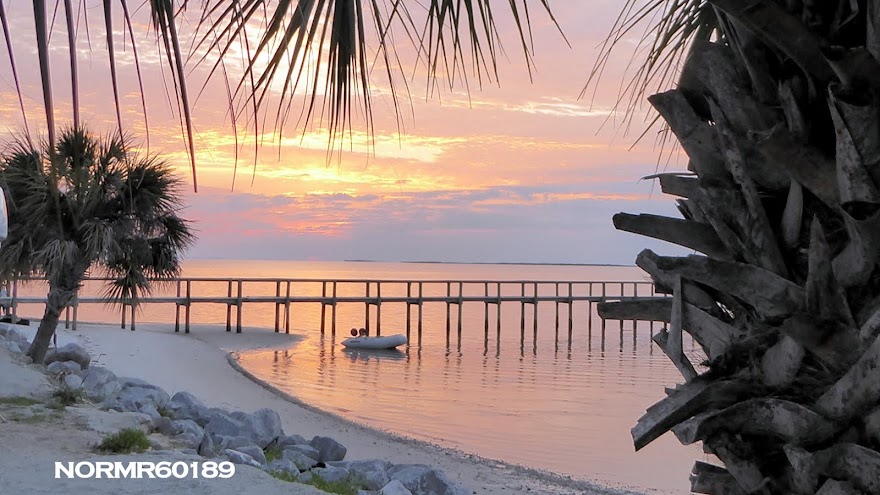
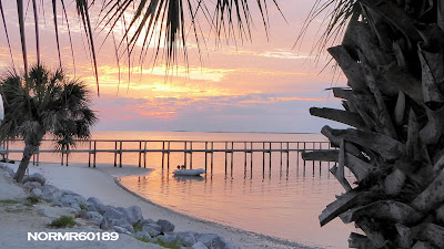
At our campground:
 |
| Birds feeding at sunset as low tide approaches |
Day 6.
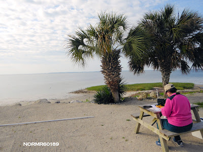
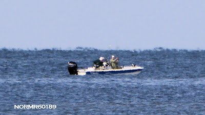
Day 6 - Relaxing on the Gulf
Well, it is dawn and G is snoozing. I am making coffee. We'll be here for four or five days, exploring the area. Wish I had an inflatable canoe, but I did bring the fishing pole. Today will probably be an easy day. I've got some condo board work to do, and G has some writing. A nice spot for these tasks.
 |
| Dawn |
 |
| Dawn |
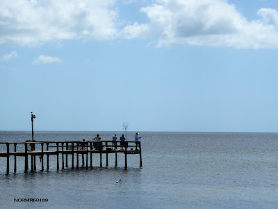
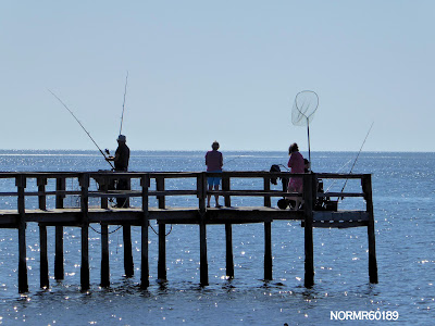 |
| The fisherfolk are hoping for a catch |
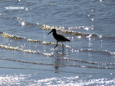 |
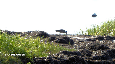
| A patient shore bird looking for a meal |
 |
| Sometimes, when you think you are being watched, you really are being watched |
 |
| Keeps the bugs under control |
 |
| Dusk at our site |
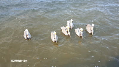 |
| Pelicans hoping for a fishy treat at the pier cleaning station |
Day 7.
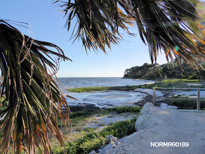
On the "Forgotten Coast"
This is a relatively quiet, undeveloped section of Florida coastline stretching from Mexico Beach on the Gulf of Mexico to Shell Point Beach. The nearest large city is Tallahassee, Florida. The name "Florida's Forgotten Coast" is a registered trademark of the Apalachicola Bay Chamber of Commerce.
 |
| Breakfast on the "Forgotten Coast" |
 |
| Heron Strolling By |
 |
| Hanging out |
 |
| Another opportunity on the pier |
 |
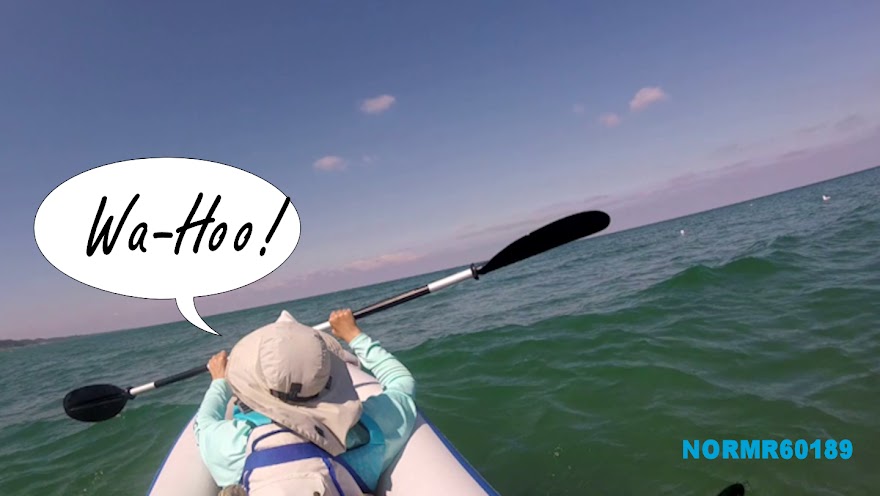
| Fishing from a kayak |
 |
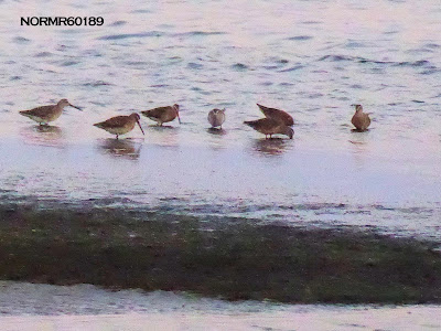
| There is a constant stream of shore birds |
Time for a little exploring, and lunch!
 |
| Entering Carrabelle from the West |
 |
| Lunch Stop |
 |
| Cajun Shrimp Basket, cheese grits, hush puppy, cole slaw & fries |
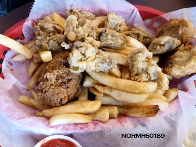 |
| Fried oyster basket |
 |
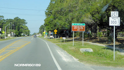
| West on US 98 toward St. George Island - "Forgotten Coast" |
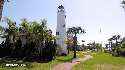 |
| St. George Island Lighthouse |
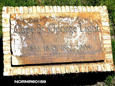 |
| Lighthouse Marker |
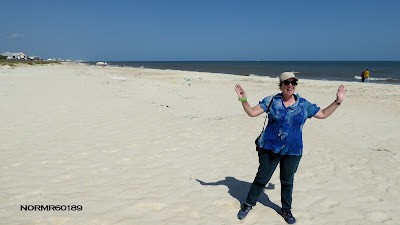 |
| G on the beach |
 |
| Enough Nature - time for an ice cream |
 |
| US98 leaving St. George Island |
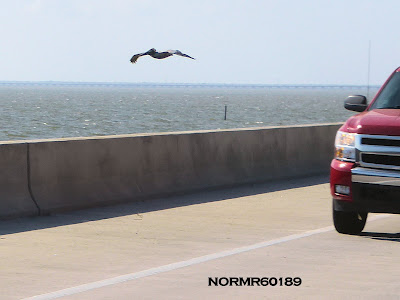 |
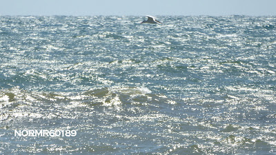
| Lots of pelicans, some low flyers |
 |
| St. George Island at dusk |
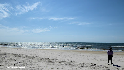
Day 8.
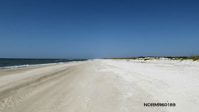
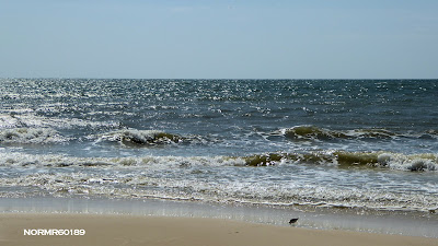
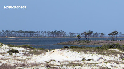
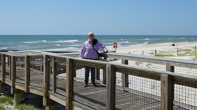
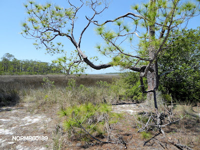
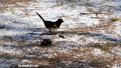
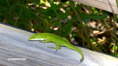
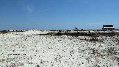
Visiting St. George Island State Park
Today we revisited St. George Island to see the state park. We did some other sightseeing, too. We got up slightly after dawn and G wrote post cards while I packed the Roadtrek for a day trip. Breakfast was light and while G dropped off the post cards at the Carrabelle Post Office I got a cup of coffee across the street at the Carrabelle Junction. We then headed toward the State Park.
 |
| Dawn from our campsite |
 |
| G writes postcards while I back up the RV |
 |
Meanwhile, the fishermen are doing their best
2500mm focal length, 1/250 sec, f6.4 |
 |
| On the way to the State Park |
 |
| The bridge sign says "Look out for birds" and those pelicans are big and do get close |
 |
| Some nice beach houses on the island |
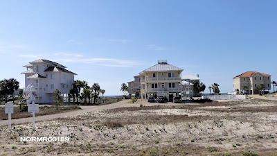 |
| A few representative beach houses |
 |
| At the entry of the state park |
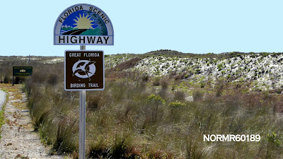 |
| Ir's a scenic highway |
 |
| View as we drive through the gate |
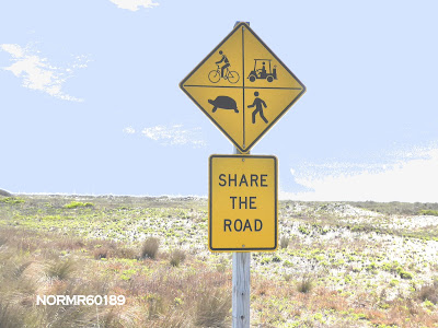 |
| Notice the turtle |
 |
| We stopped at one of the beach entry points. Mild, mid 70s but the wind had picked up |
 |
| Feeding the wildlife is a problem. Here's a sign to get the point across |
 |
| G walking the beach |
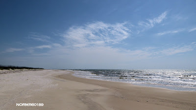 |
| It is a miles long beach - View south |
 |
| The view north |
 |
| Add caption |
 |
| Lots of space for a private conversation |
 |
| sand and trees across the East Slough |
 |
| the road through the park is 25 MPH with soft sand and no shoulders if you stray |
 |
| G headed to the beach at the East Slough Area |
 |
| Chillin' |
 |
| just a few gulls |
 |
| standing into the wind |
 |
| flying into the wind |
 |
| On the walk to the East Slough Area |
 |
| continuing on the wooden ramps |
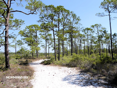 |
| Very fragrant with the pines. |
 |
| on the East Slough Walk |
 |
| on the East Slough Walk |
 |
| on the East Slough Walk |
 |
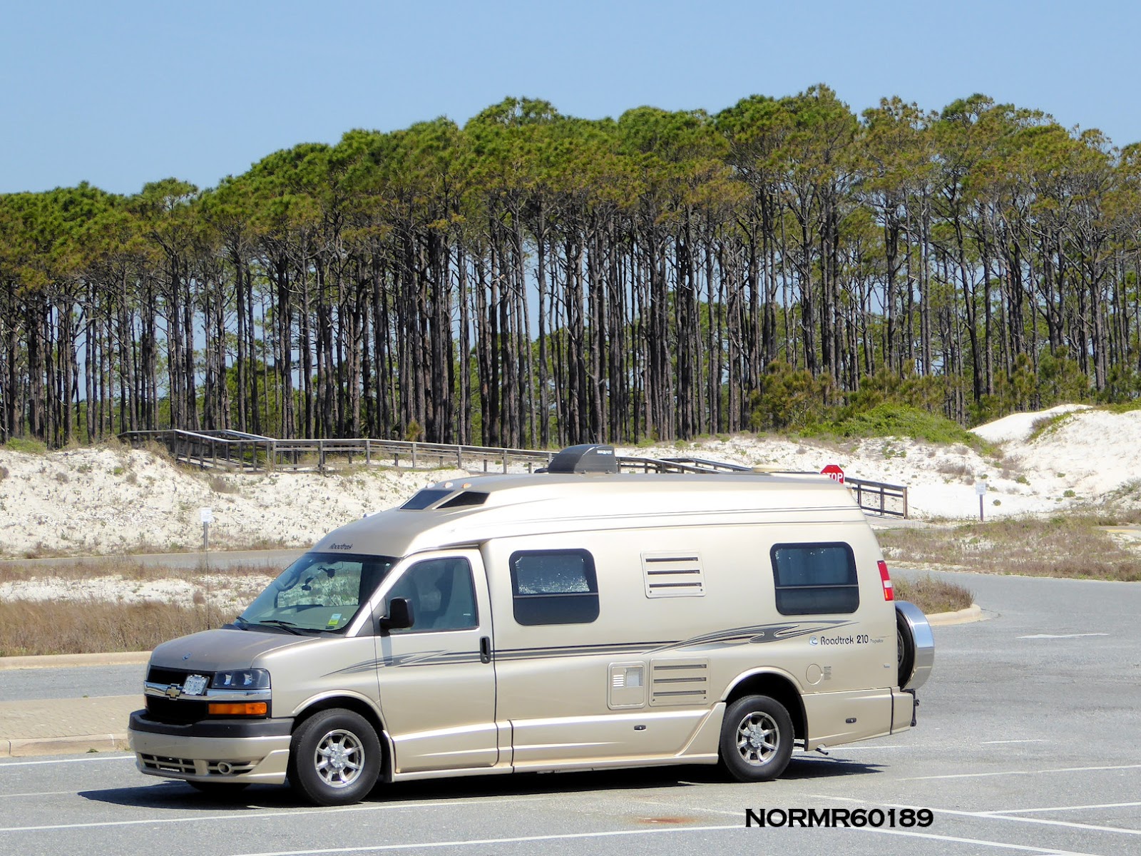
| Walking back to the car, but not on the dunes |
 |
| Back to the Roadtrek |
Next stop: the Apalachicola National Estuarine Research Reserve and then a meal!
Day 8, continued.
At the Apalachicola National Estuarine Research Reserve
Under the canopy of tall pines at the Apalachicola National Estuarine Research Reserve:
Now for a meal at the Pesky Pelican Grill in Eastpoint!
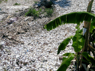 |
| Yep, those are oyster shells. This is prime oyster country, since 1898 |
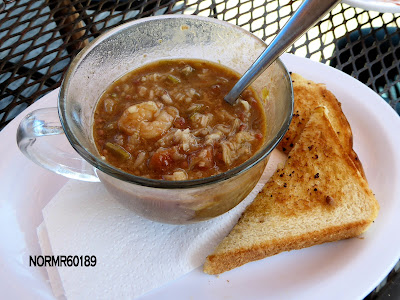 |
| Gumbo, already half gone. We split a shrimp po' boy sandwich, too |
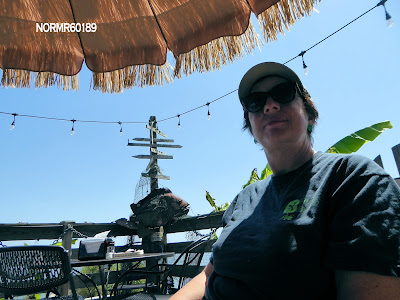 |
| On the patio, on the bay and within view of those pesky pelicans |
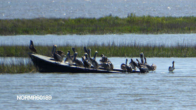 |
| Your pelican crew is ready! |
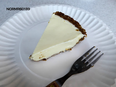 |
| We took a piece of Key Lime Pie to go and had it the next day |
 |
| Back "home" |
Day 9.
Day 9 in this post - Apalachicola vintage car and boat show.
The day began overcast so we went to the car and boat show. Here's a few photos and I'll post more tonight.
After the show we returned to the campground and sat on the bay. We had a visitor:
April 22, 2018 6:20pm EDT added a few photos:
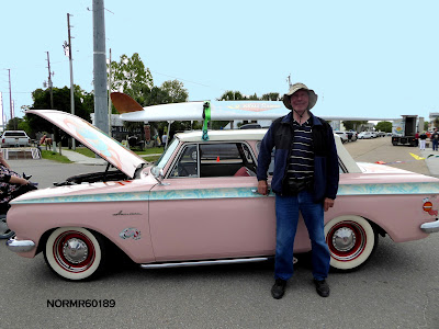 |
| Norm at the surfer's car. It is for sale! |
Day 10&11.
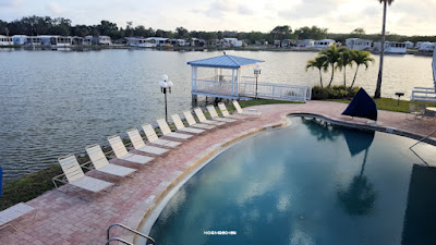
Day 10 and 11 in this post - Bradenton, FL.
We spent a couple of days in Bradenton. FL. Visiting relatives, doing the laundry, walking along the Riverwalk and so on.
 |
| Woodpecker at dawn |
 |
| Our campsite view |
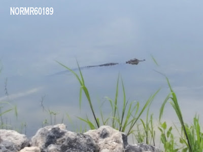 |
| Our alligator neighbor |
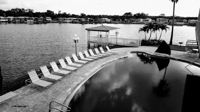 |
| At the pool at dawn |
 |
| At dawn, color version |
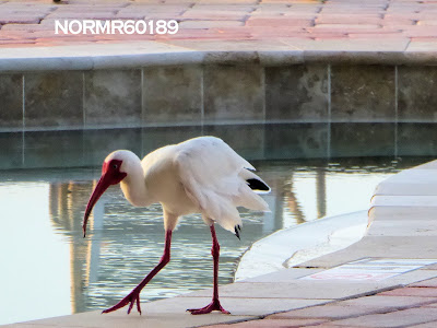 |
| Poolside visitor |
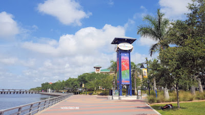 |
| On the riverwalk |
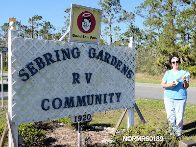
Day 12.
Day 12 in this post - Sebring, FL.
Today is a one day stay in Sebring. FL to visit friends. After the day together we all went to the Cowpoke Watering Hole for a good dinner.
We shared an appetizer of Caprese Crackers, which was fried green tomatoes with a thin topping of mozzarella cheese and fresh basil.. Our main course was Pork Osso Bucco with veggies and mashed potatoes for G. I had Steak Chimichurri salad. Dessert was Florida Orange Cake.
 |
| We stayed at a very friendly and layback RV park, on the road less travelled |
Day 13.
Day 13 in this post - On to the Northland slowly - To Savannah, GA.
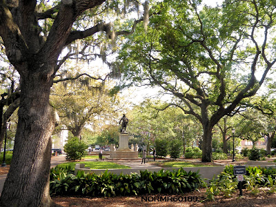
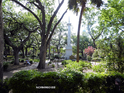
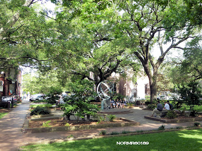
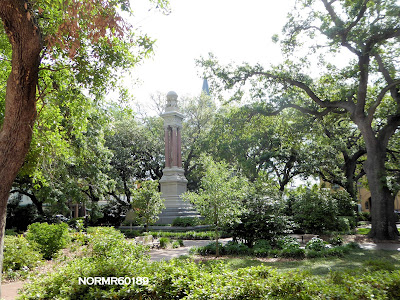
It seems that the northland is finally thawing and may remain above freezing. We decided to return and are spending the night in Savannah, Ga. Tomorrow we'll take the Savannah Trolley Tour into the city. The trolley goes to our campground and picks us up at 9:00 am and returns us at 4:30 pm. This is a "Hop On - Hop Off" all day tour of the Victorian District, City Market, River Street, Chippewa Square and Historic District.
If we decide to return earlier we can take a municipal bus back to our campsite. Should be enjoyable.
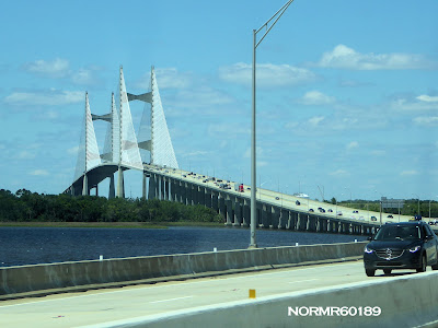 |
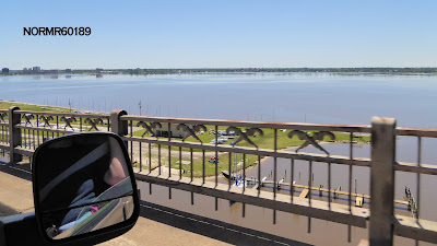
| The Dames Point Bridge (officially the Napoleon Bonaparte Broward Bridge) over the St. Johns River in Jacksonville, Florida on the Interstate 295 East Beltway. |
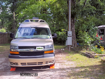 |
| At the campground |
 |
| Environmentally friendly 120VAC receptacle |
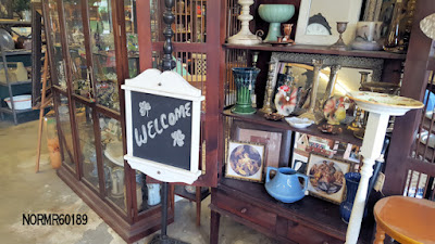 |
| The campground has an antique shop |
 |
| Bench for the 9:00am tour pickup |
Day 14.
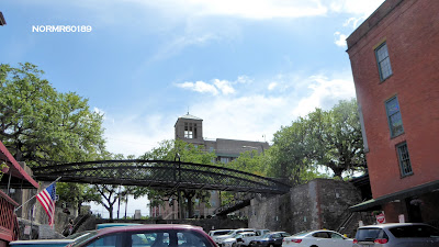
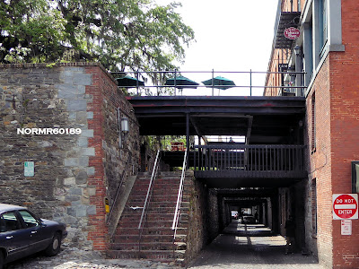
We spent the day in Savannah, GA. Here are a few photos, and a link to a larger photo album:
 |
| Chippewa Square |
 |
| Monterey Square |
 |
| Forsyth Park |
 |
| Troup Square |
 |
| Johnson Square |
 |
| Wright Square |
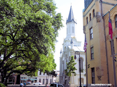 |
| Lutheran church of the Ascension |
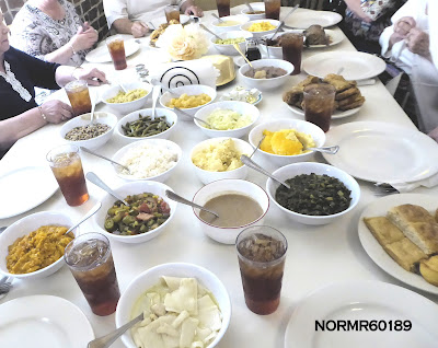 |
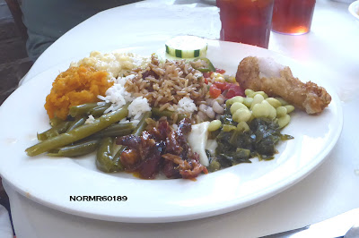
| Lunch at Wilkes House |
 |
| Lunch at Wilkes House |
 |
| Lunch at Wilkes House |
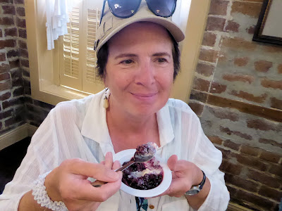 |
| Blueberry Cobbler at Wilkes House |
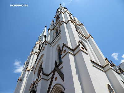 |
| St. John the Baptist Catholic Church |
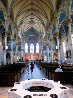 |
| St. John the Baptist Catholic Church |
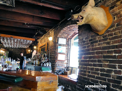 |
| Boar's Head Tavern |
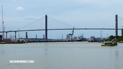 |
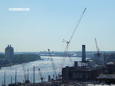
| Savannah River |
 |
| River Street Pedestrian Access |
 |
| River Street |
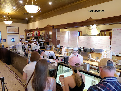 |
| Leopold's Ice Cream |
A larger photo collection of our day in Savannah, Georgia:
Click for Norm's Savannah Photo Album
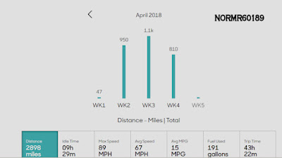 |
| Statistics and miles travelled in April, as of our arrival in Savannah |
Day 15.
We spent the day travelling from Savannah, GA to Asheville, NC. We arrived at our campsite mid-afternoon. Tomorrow the Blue Ridge Parkway, if weather permits.
 |
| Crossing the Savannah River in the morning. G got this shot |
 |
| Crossing the Savannah River |
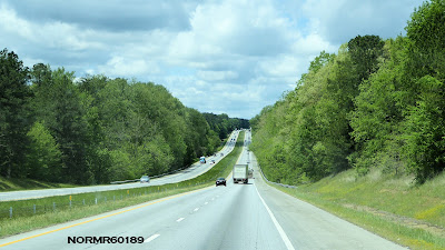 |
| I-26 Northbound, toward Spartanburg |
The weather ahead appeared to be overcast. On arrival in Asheville some of the campers told us they had three days of severe rain, which finally ended in the night.
 |
| About an hour from Asheville we get a view of the mountains |
 |
| At Asheville we encountered slow traffic |
 |
| On the Campground entry road |
 |
| Setup in the Campground |
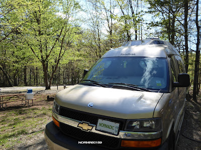
We setup in the campground, took a nice walk and had dinner. We then began planning tomorrow's specific route and the things we want to see.
The weather can change rapidly in the mountains and there can be fog in the morning. There are live webcams available and we'll be checking them before we go to breakfast:
http://www.brpwebcams.com/
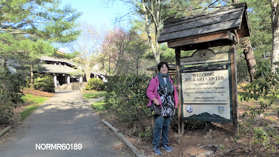
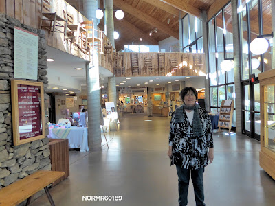
Among other things we hope to visit the Folk Art Center:
https://www.nps.gov/blri/planyourvisit/folk-art-center.htm
Day 16.
We began the day travelling 70 miles of the Blue Ridge Parkway in North Carolina and it included a stop at the Folk Art Center and the Switzerland Inn.
 |
| 8:00 am at the diner |
 |
| Folk Art Museum |
 |
| Folk Art Museum |
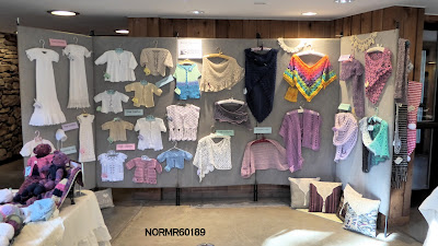 |
| Folk Art Museum |
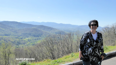 |
| Tanbark Ridge |
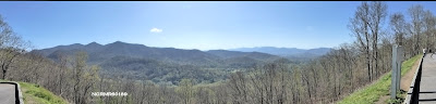 |
| Tanbark Ridge |
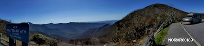 |
| Graybeard Mountain |
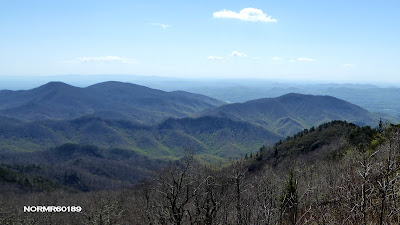 |
| Green Knob |
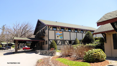 |
| Switzerland Inn |
For more photos, go to this link:
https://plus.google.com/collection/YLJjZE
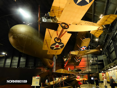
Day 17.
This was our final stop enroute. We spent a good part of the afternoon in the National Museum of the U.S. Air Force in Dayton OH.
Here are a few photos, and I've put more on my G+ photo album site, which is at the following link. Click on "View All" at the link to bring up some of the photo collections which aren't shown on the main page:
Norms G+ Photo Albums
Here's a link to the Air Force Museum collection:
https://plus.google.com/collection/4XYyTF
 |
| SR-71, X15 and B70 |
 |
| Part of the "Early Years" exhibit |
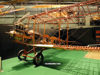 |
| Airframe without canvas in the "Early Years" exhibit |
 |
| B2 tailless bomber |
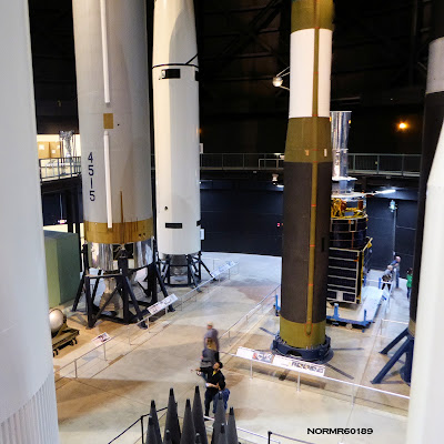 |
| ICBMs and MIRV in the foreground |
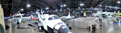 |
| Space Shuttle, etc. |
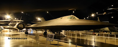 |
| SR71 "Blackbird" |
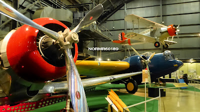 |
| Part of the "Early Years" Gallery |
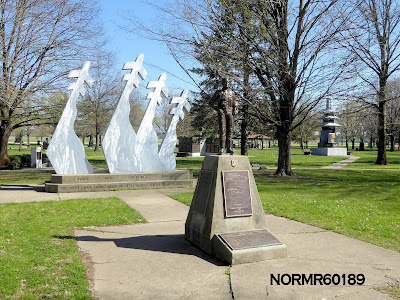 |
| A part of the outdoor Memorial |
......This trek is over, currently planning our next to our Michigan "Lily Pad"
Original material:
https://roadtrek210.blogspot.com/